

Preview
Document Type
StillImage
Contributing Institution
Maine State Library
Identifier
AVUND83201
Description
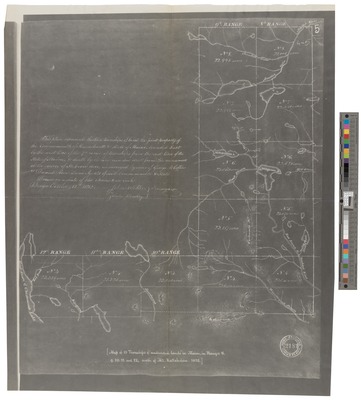
Description of boundaries written on map
Bureau/Division/Agency
Map Collections at the Maine State Library
Exact Creation Date
1832
Supplemental Rights
Creative Commons Attribution 4.0 International License.
Keywords
Avery Collection; Reprint of Map in Massachusetts Archives; Maine; Map; Negative Photocopy