

Preview
Contributing Institution
Maine State Archives
Document Type
Image
Identifier
65-207967-I023
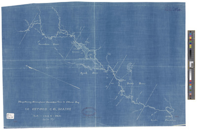
Description
Magalloway River, From Oxiscohas [Aziscohos] Dam to Moose Bog. Blueprint, scale 1 inch = 1 mile. Approximately 16 x 24 inches.
Broad Creation Date
Unknown
Dimensions
40 x 58 cm
Language
English
Location
Oxford County