• Home
  • Search
  • Browse State Agencies
  • My Account
  • About
  • DC Network Digital Commons Network™
Skip to main content
Digital Maine Maine State Library
  • Home
  • About
  • FAQs
  • My Account

Home > StateDocs > sos > ARCHIVES > ARC_IMG > ARC_MAPS > ARC_WATER_STORAGE_MAPS

Water Storage Commission Maps and Plans

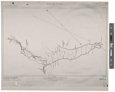
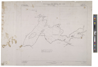
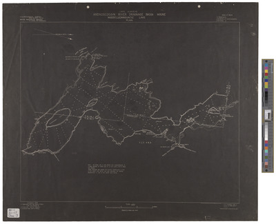
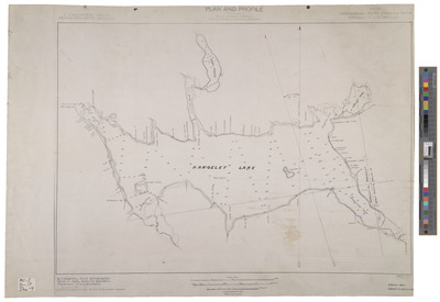
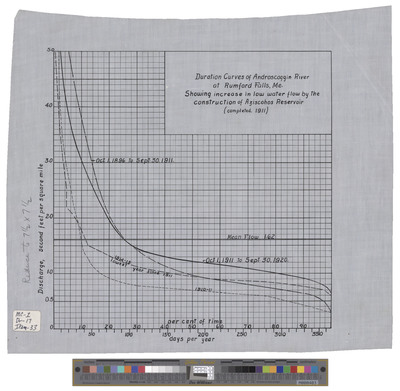
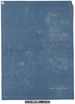
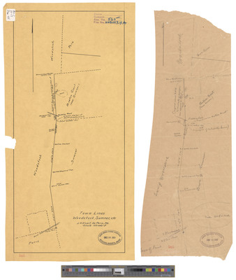
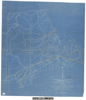
The Water Storage commission was created in 1909 by P.L. 212 and was charged with collecting information relating to the water power of the State, the flow of rivers, and their drainage areas. It was also empowered to improve the natural storage areas of the State and create new storage. The Governor was the chair of the Commission, which included the Land Agent and three other appointed members. The Commission was abolished and the records and functions were absorbed by the newly established Public Utilities Commission in 1913 by P.L 130. In 1919 the Water Power Commission was established and the functions transferred to that body, before being returned again to the Water Resources Division of the Public Utilities Commission.

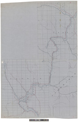
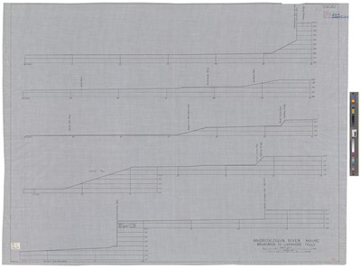
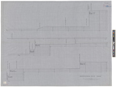
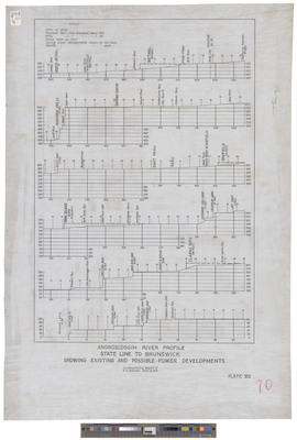
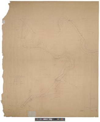
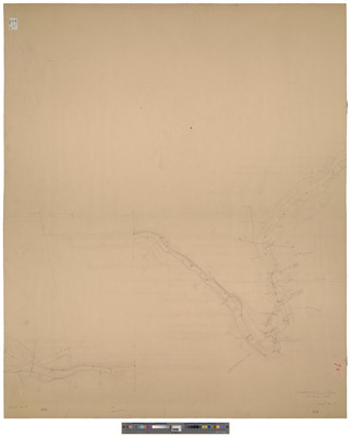
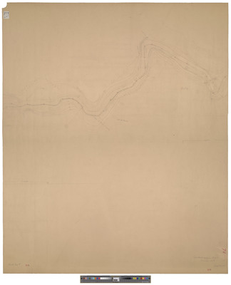
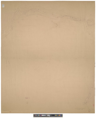
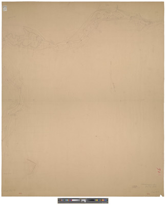
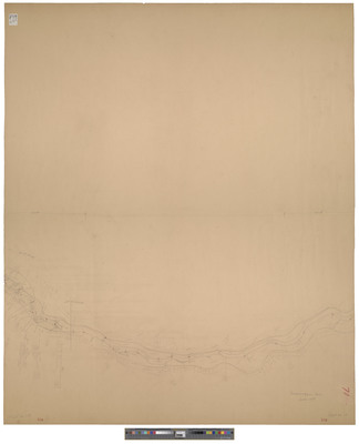
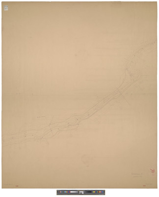
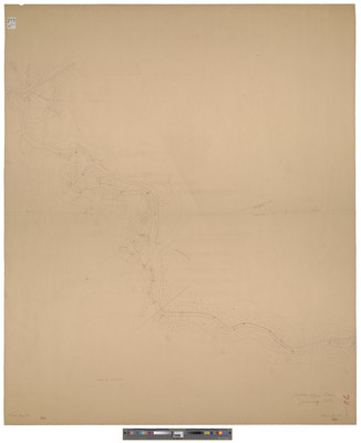
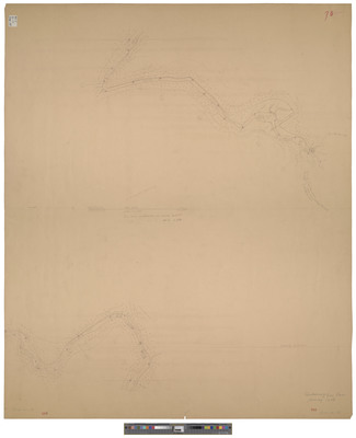
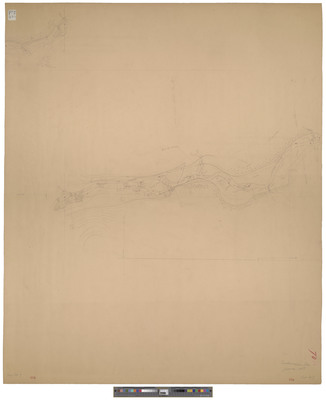
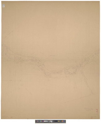
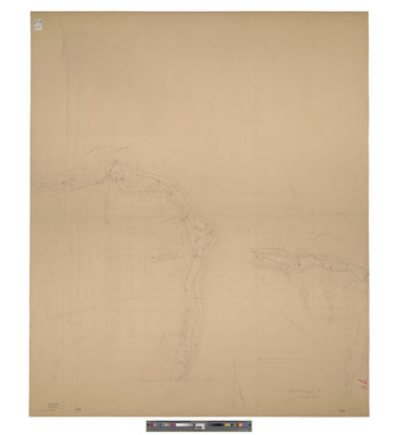
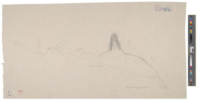
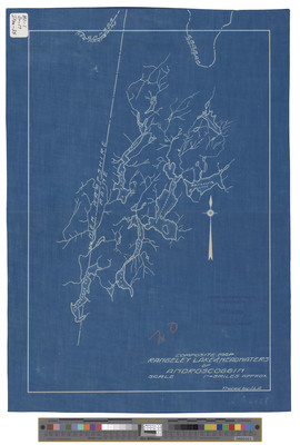
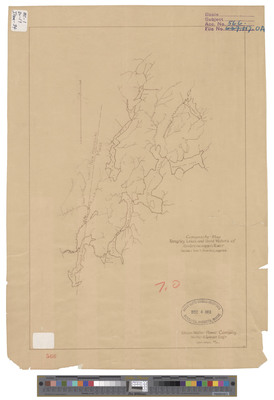
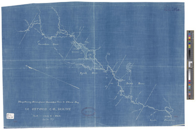
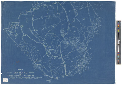
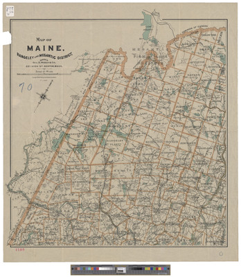
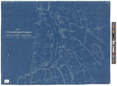
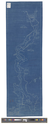
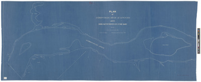
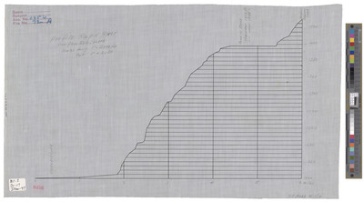
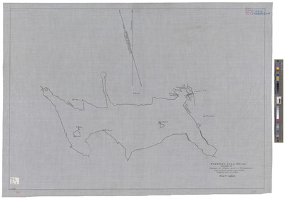
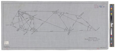
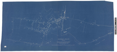
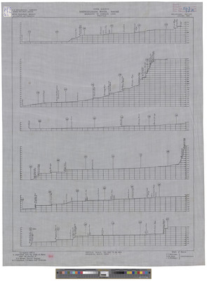
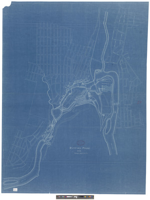
These maps and plans show water power facilities and water storage areas along many of Maine's rivers. They primarily range in date from 1909-1913 and 1919-1925.

Printing is not supported at the primary Gallery Thumbnail page. Please first navigate to a specific Image before printing.

Follow

Switch View to List View Slideshow
 
  • Androscoggin River above Deer Rips Dam, 1903.

    Androscoggin River above Deer Rips Dam, 1903.

  • Androscoggin River above Deer Rips Dam, 1903 (copy 2)

    Androscoggin River above Deer Rips Dam, 1903 (copy 2)

  • Androscoggin River and Boxer's Island, 1910. by State of Maine Water Storage Commission

    Androscoggin River and Boxer's Island, 1910.

  • Androscoggin River Drainage Basin, Kennebago Lake, 1910. by State of Maine Water Storage Commission and U.S. Geological Survey

    Androscoggin River Drainage Basin, Kennebago Lake, 1910.

  • Androscoggin River Drainage Basin, Mooselucmaguntic Lake Plan, 1909. by State of Maine Water Storage Commission, U.S. Geological Survey, A. D. Butterfield, and H K. Barrows

    Androscoggin River Drainage Basin, Mooselucmaguntic Lake Plan, 1909.

  • Androscoggin River Drainage Basin, Mooselucmaguntic Lake Plan, 1909. by State of Maine Water Storage Commission, U.S. Geological Survey, A. D. Butterfield, and H. K. Barrows

    Androscoggin River Drainage Basin, Mooselucmaguntic Lake Plan, 1909.

  • Androscoggin River Drainage Basin, Rangeley or Oquossoc Lake, 1910. by State of Maine Water Storage Commission and U.S. Geological Survey

    Androscoggin River Drainage Basin, Rangeley or Oquossoc Lake, 1910.

  • Androscoggin River from Dummer to Errol. by State of Maine Water Storage Commission

    Androscoggin River from Dummer to Errol.

 
  • 1
  • 2
  • 3
  • 4
  • 5
  • 6


Search

Advanced Search

  • Notify me via email or RSS

Browse

  • State Agencies
  • Subjects
  • Contributors

For Agency Contributors

  • FAQs

Featured Links

  • Maine Government
  • Maine State Library
  • Maine State Agencies
  • Digital Maine Partners

Gallery Locations

  • View gallery on map
  • View gallery in Google Earth
 
Elsevier - Digital Commons

Home | About | FAQ | My Account | Accessibility Statement

Privacy Copyright