

Preview
Contributing Institution
Maine State Archives
Document Type
Image
Identifier
65-207967-I019
Description
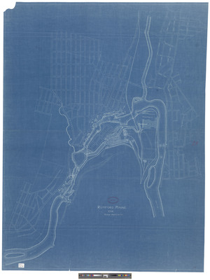
Rumford, Maine 1910. Blueprint, approximately 36 x 47 inches. Scale 1 inch=300 feet.
Exact Creation Date
1910
Dimensions
91 x 119 cm
Language
English
Location
Oxford County; Rumford
Other Location
Androscoggin River, Maine