

Preview
Contributing Institution
Maine State Archives
Document Type
Image
Identifier
65-207967-I015
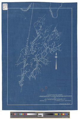
Description
Composite map of Rangeley Lake and headwaters of the Androscoggin River. Blueprint, approximately 17 x 12 inches.
Broad Creation Date
circa 1912
Dimensions
30 x 43 cm
Language
English