Home
Search
Browse State Agencies
My Account
About
Digital Commons Network™
Skip to main content
Home
About
FAQs
My Account
Home
>
StateDocs
>
sos
>
ARCHIVES
>
ARC_IMG
>
ARC_MAPS
>
ARC_SOMERSET_ROADS
Somerset County Road Maps
Printing is not supported at the primary Gallery Thumbnail page. Please first navigate to a specific Image before printing.
Follow
Switch View to List
View Slideshow
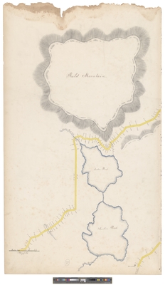
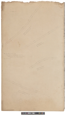
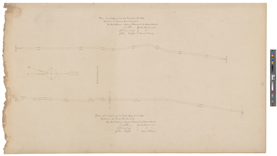
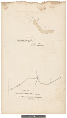
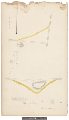
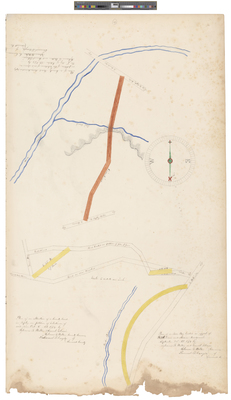
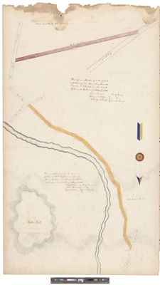
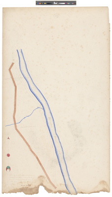
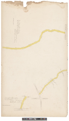
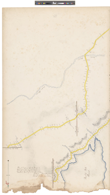
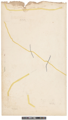
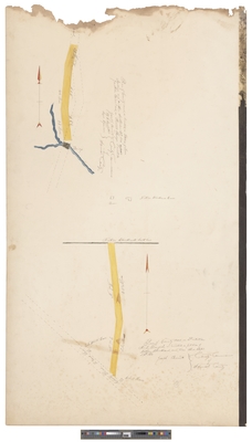
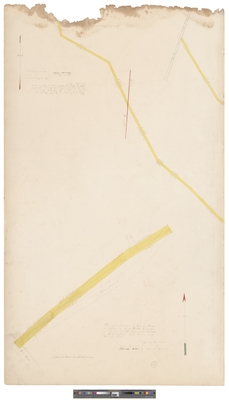
Plan of a Highway Located August 4, 1880; Petition of Elias Smith et als.
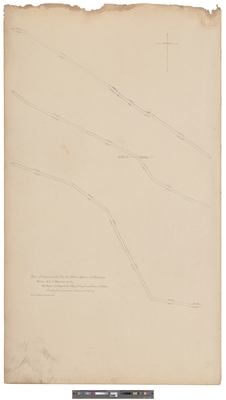
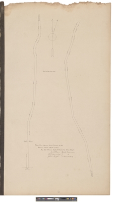
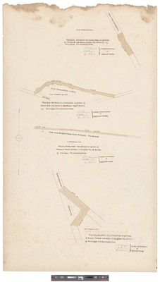
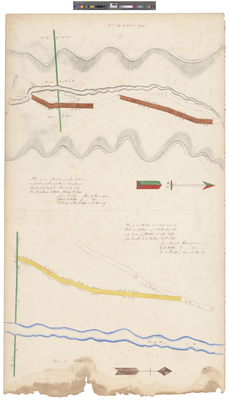
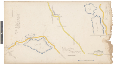
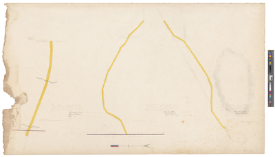
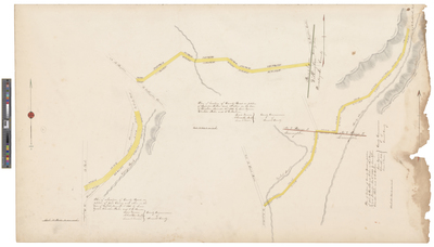
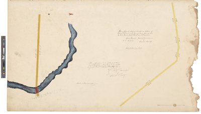
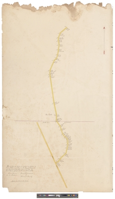
Plan of Two Highways Located December 15, 1880
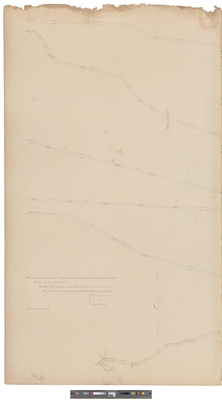
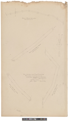
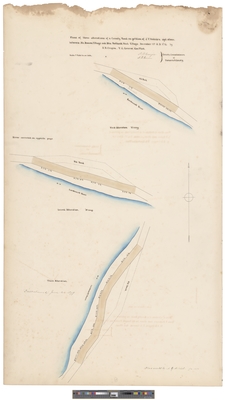
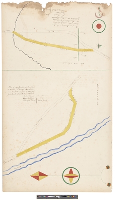
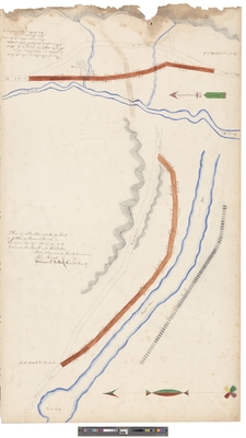
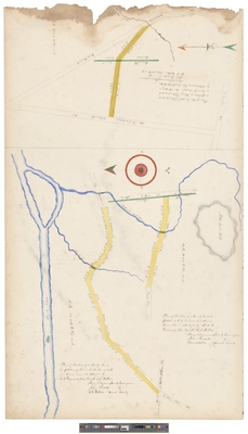
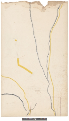
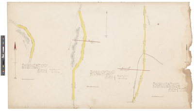
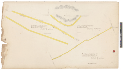
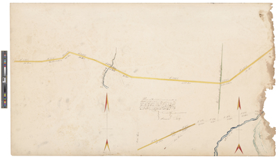
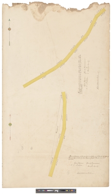
Plan of Four Highways Located In August and December 1880
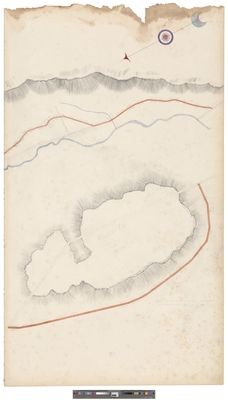
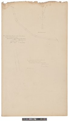
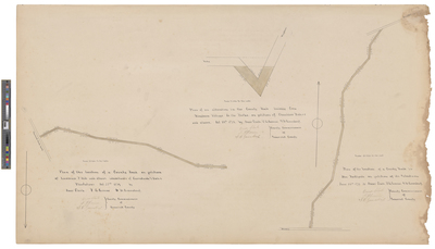
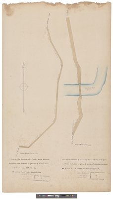
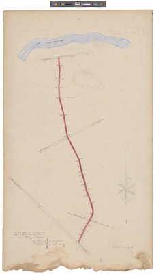
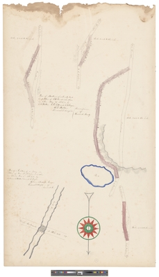
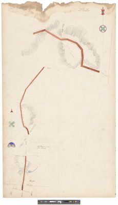
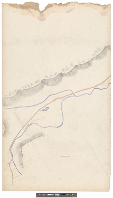
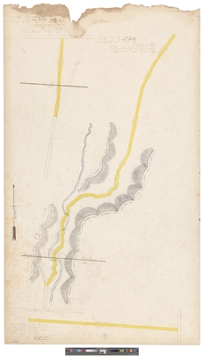
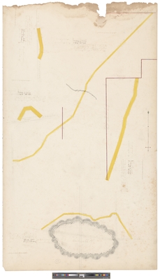
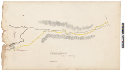
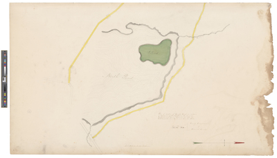
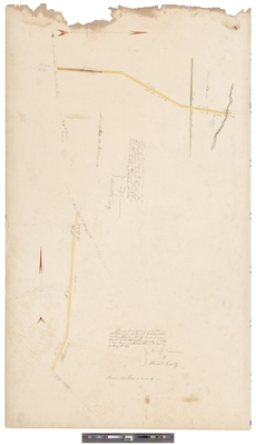
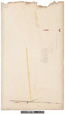
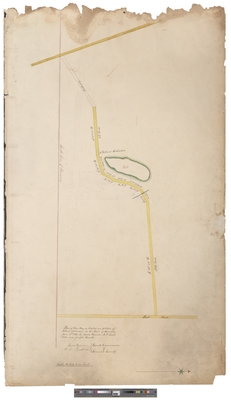
Plan of the Location of a County Road On Petition of Lawrence P. Hill and Others, Inhabitants of Carratunk & Forks Plantations October 28, 1879
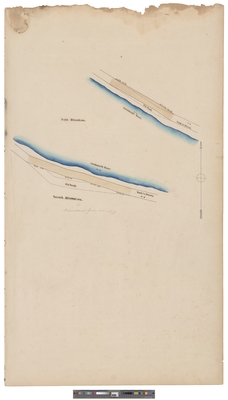
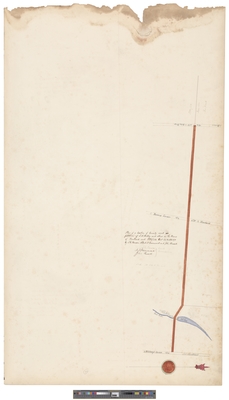
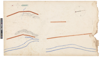
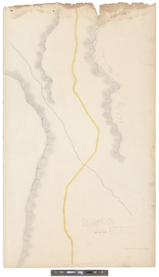
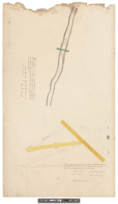
First and Second Alterations of Road To Anson Along the Carrabassett River, circa June 25, 1879
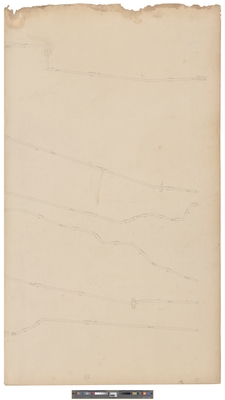
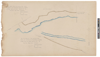
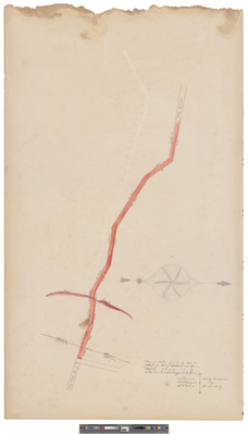
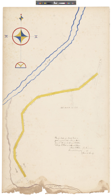
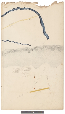
Plan of the Location of a County Road Between Mayfield and Piscataquis County Line On Petition of Virgil Hall and Others, October 15, 1878
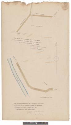
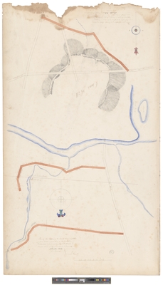
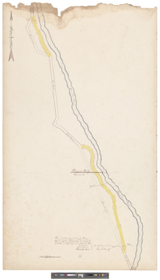
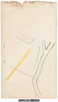
Plan of the Location of a County Road Between Brighton and Athens, On Petition of Martin Jones and Others June 28, 1877
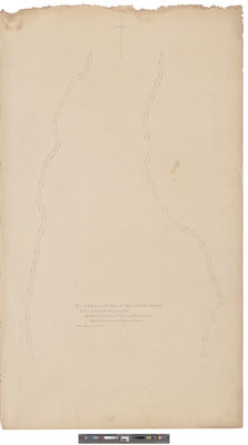
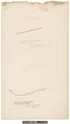
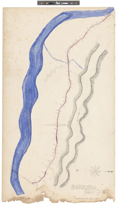
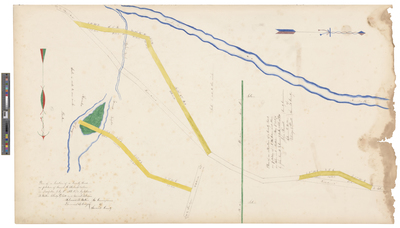
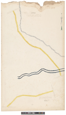
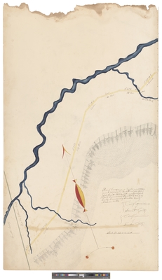
Plan of the Discontinuance of a County Road On Petition of the Selectmen of Athens, June 12th, 1877
Page
2
of
9
1
2
3
4
5
6
7
Search
Enter search terms:
Select context to search:
in this collection
Digital Maine
Advanced Search
Notify me via email or
RSS
Browse
State Agencies
Subjects
Contributors
For Agency Contributors
FAQs
Featured Links
Maine Government
Maine State Library
Maine State Agencies
Digital Maine Partners
Gallery Locations
View gallery on map
View gallery in Google Earth


