Home
Search
Browse State Agencies
My Account
About
Digital Commons Network™
Skip to main content
Home
About
FAQs
My Account
Home
>
StateDocs
>
sos
>
ARCHIVES
>
ARC_IMG
>
ARC_MAPS
>
ARC_SOMERSET_ROADS
Somerset County Road Maps
Printing is not supported at the primary Gallery Thumbnail page. Please first navigate to a specific Image before printing.
Follow
Switch View to List
View Slideshow
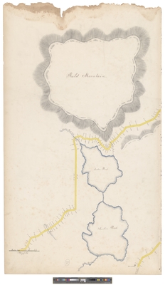
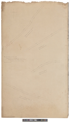
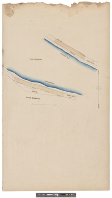
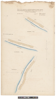
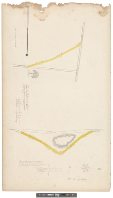
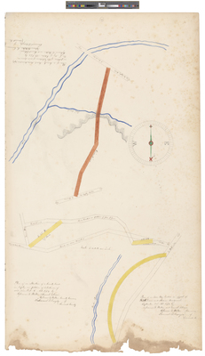
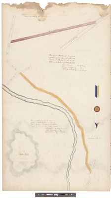
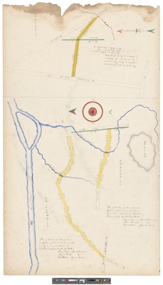
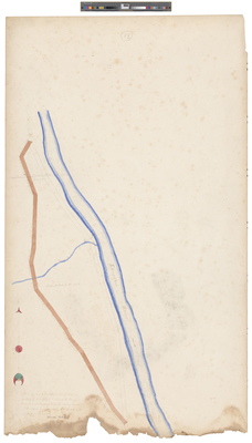
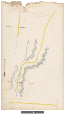
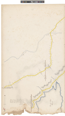
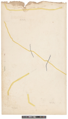
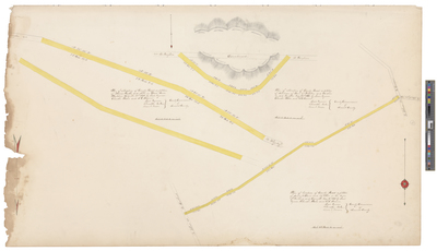
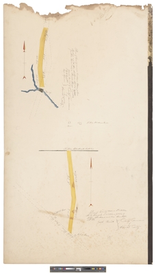
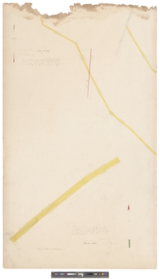
Bald Mountain Township (circa 1868)
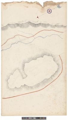
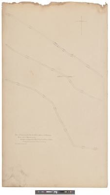
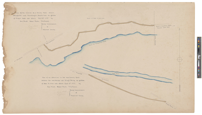
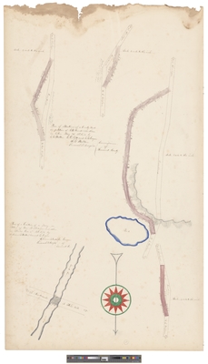
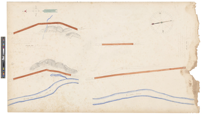
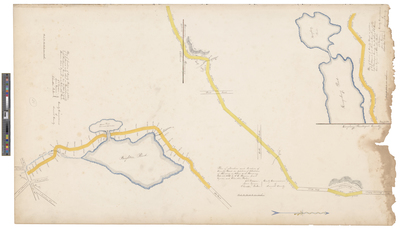
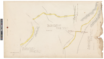
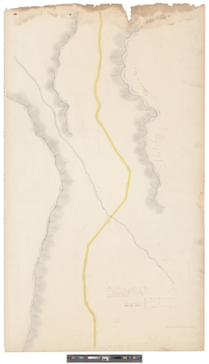
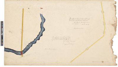
Churchill Hill and Sandy River near Lexington and New Portland (circa 1870)
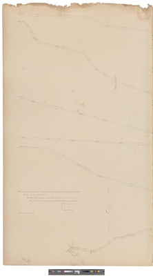
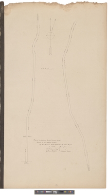
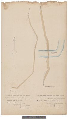
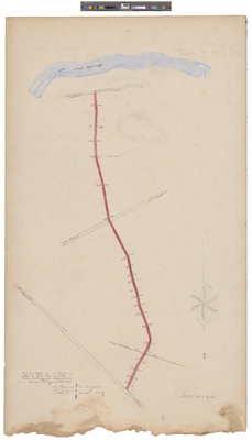
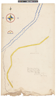
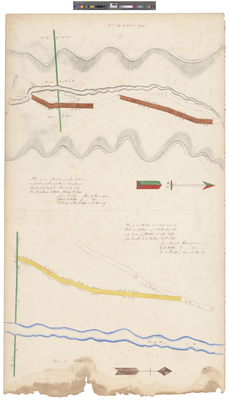
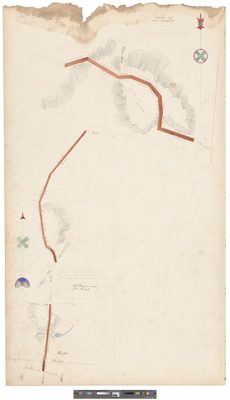
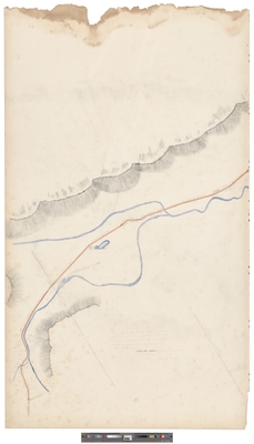
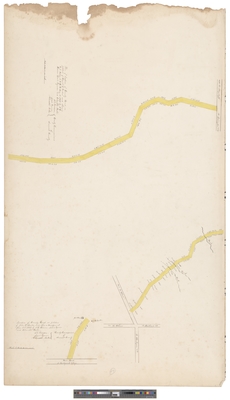
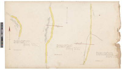
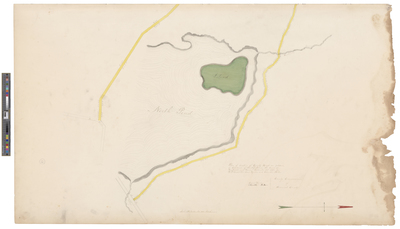
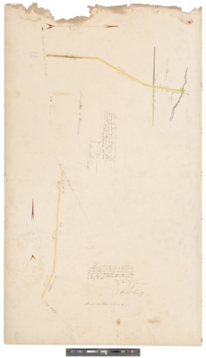
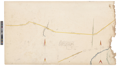
Road Near Shirley Mills and West Outlet of Moxie Pond
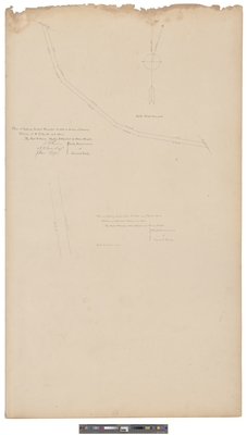
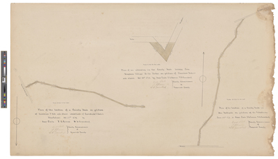
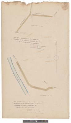
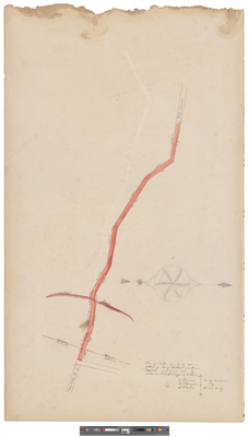
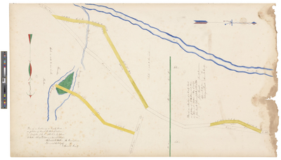
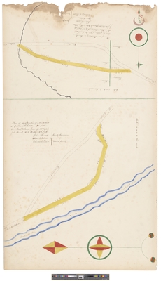
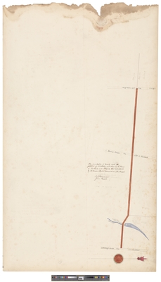
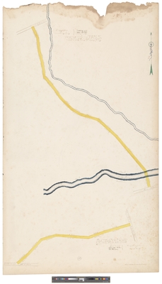
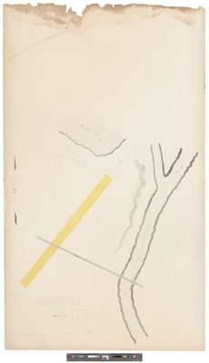
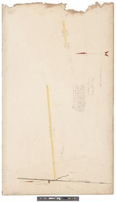
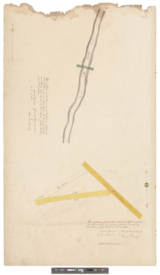
Plan of Highway Located March 23, 1882 in The Forks Plantation
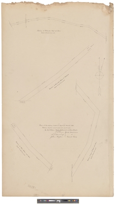
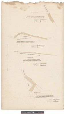
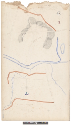
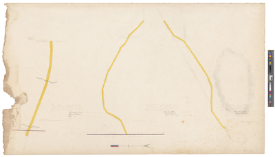
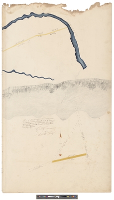
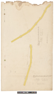
Plans of Four Highways Located in 1882
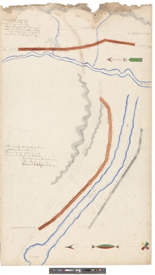
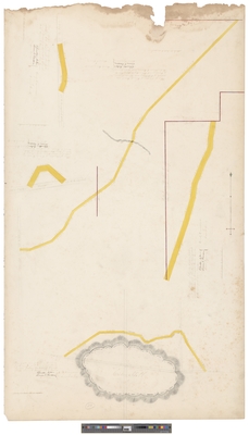
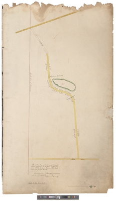
Plan of Highway Located December 14, 1881 In Madison and Skowhegan. Petition of L.I. Morrison et als.
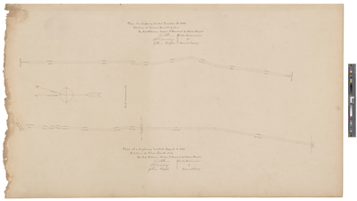
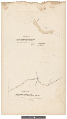
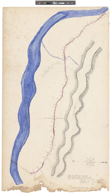
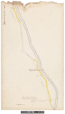
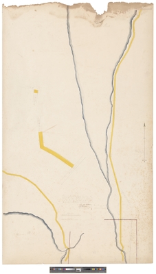
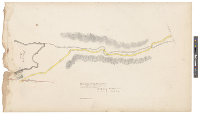
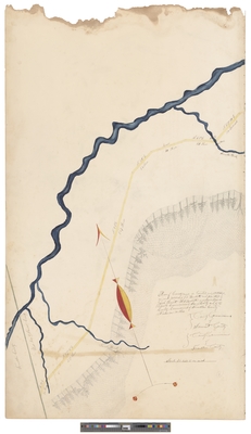
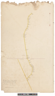
Plan of Highway Located March 1, 1881 From Shirley Mills in Piscataquis County to The Forks Bridge in Somerset County.
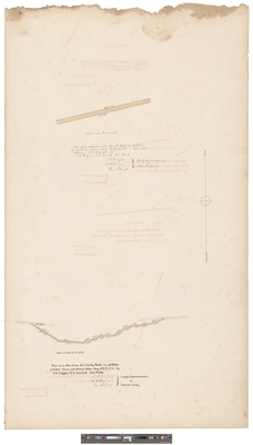
Plan of Highway Located December 15, 1880 In the Town of Harmony, Petition of W.F. Smith and Others
Page
1
of
9
1
2
3
4
5
6
7
Search
Enter search terms:
Select context to search:
in this collection
Digital Maine
Advanced Search
Notify me via email or
RSS
Browse
State Agencies
Subjects
Contributors
For Agency Contributors
FAQs
Featured Links
Maine Government
Maine State Library
Maine State Agencies
Digital Maine Partners
Gallery Locations
View gallery on map
View gallery in Google Earth


 by Somerset County Commissioners")
 by Somerset County Commissioners")


