

Preview
Document Type
StillImage
Contributing Institution
Maine State Archives
Identifier
210870
Description
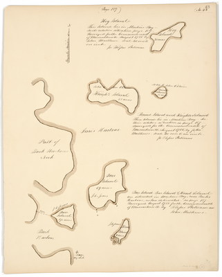
Plan of part of Buck Harbour Neck, Hog Island, Knight's Island, Bear Island, Round Island, Bar Island, and Head Island in Machias Bay. Scale of 40 rods to an inch.
Exact Creation Date
8-1785
Language
English
Location
Washington County; Machias; Jonesport
Other Location
Jones Harbour; Buck Harbour
Keywords
Cartography; Maps; Maine Land Office; Planbooks; Surveys