Home
Search
Browse State Agencies
My Account
About
Digital Commons Network™
Skip to main content
Home
About
FAQs
My Account
Home
>
StateDocs
>
sos
>
ARCHIVES
>
ARC_IMG
>
ARC_LAND_OFFICE
>
PLANBOOK_MAPS
>
PLANBOOK_8
Plan Book 8
Printing is not supported at the primary Gallery Thumbnail page. Please first navigate to a specific Image before printing.
Follow
Switch View to List
View Slideshow
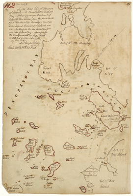
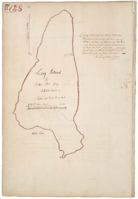
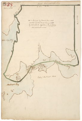
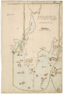
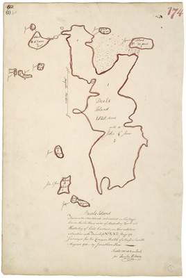
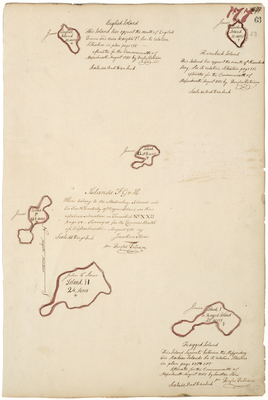
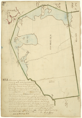
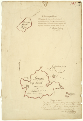
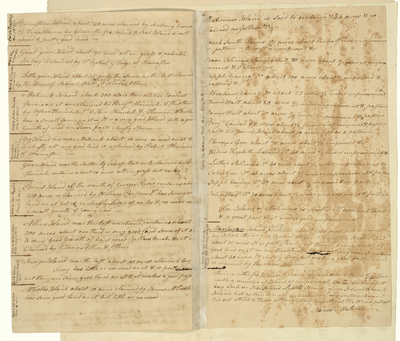
Page 24. Survey of islands in Eggemoggin Reach near Deer Isle, 1785.
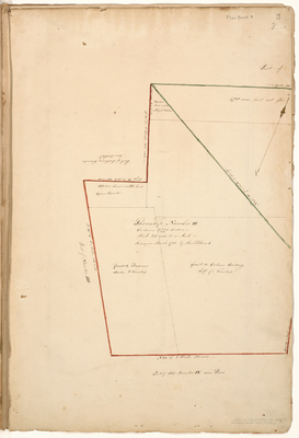
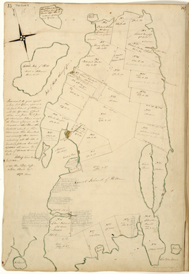
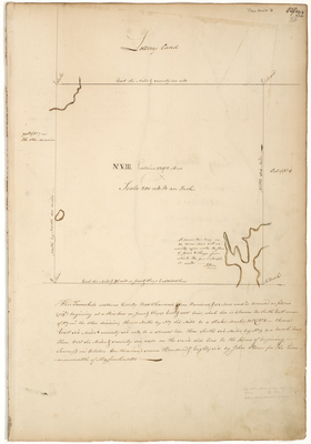
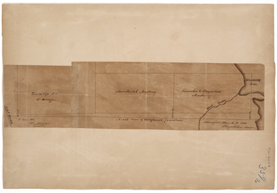
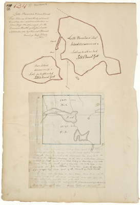
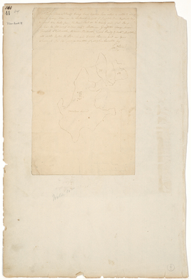
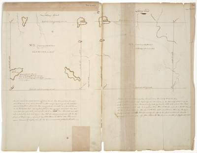
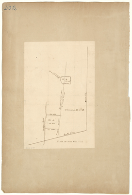
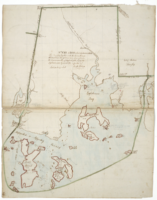
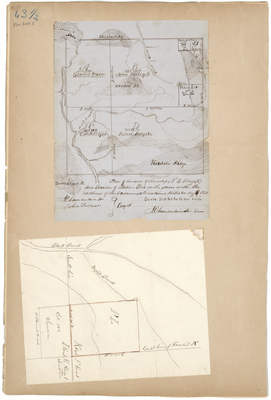
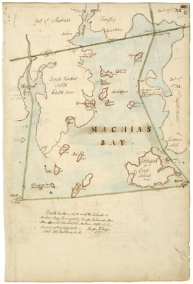
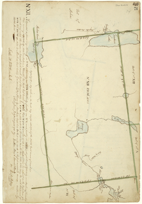
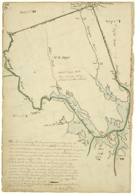
Page 25.5. This Plan represents the outlines of Township number three in the eighth range [T3 R8] East from the west line of the State of Maine, and also the division line of said township as run by Jos. Kelsey.
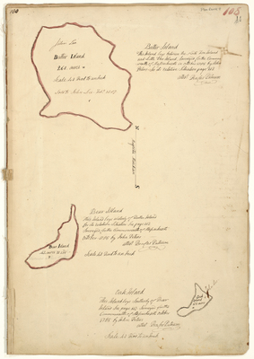
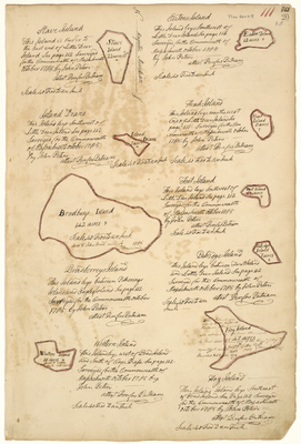
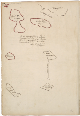
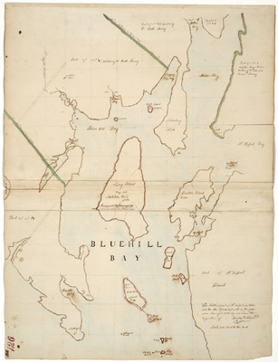
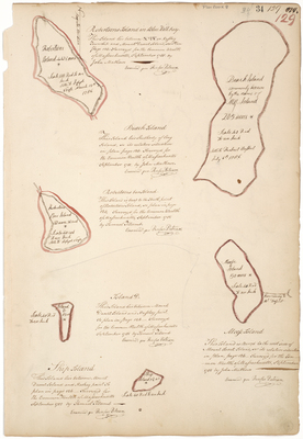
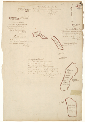
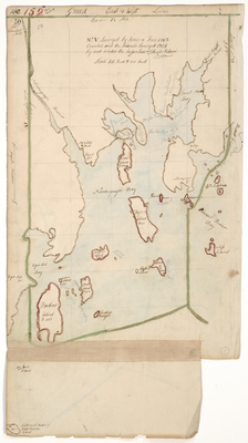
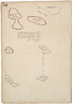
Page 25. All the Islands on this Page lay in Eggamogan Reach.
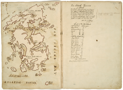
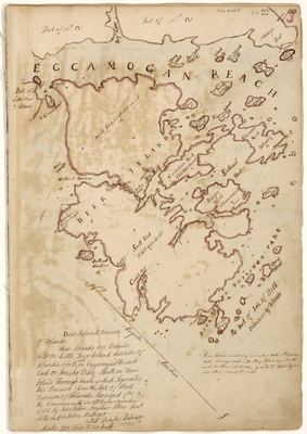
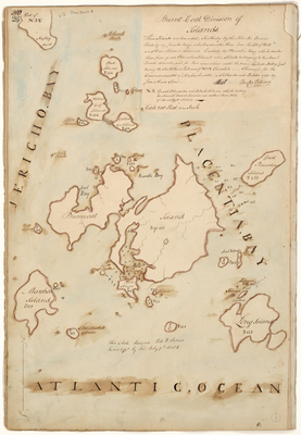
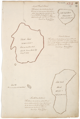
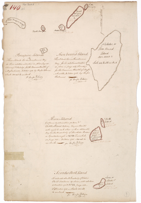
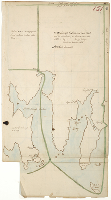
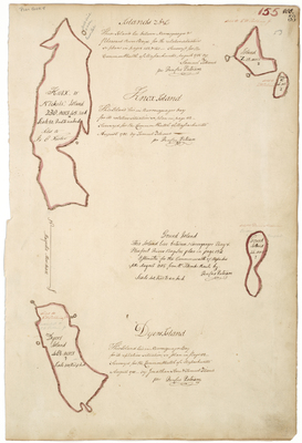
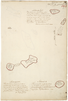
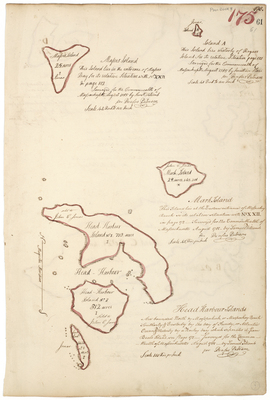
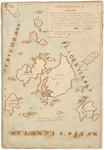
Page 26. Burnt-Coat Division of Islands.
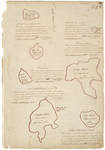
Page 27. Burnt-Coat Division of Islands.
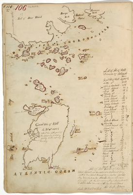
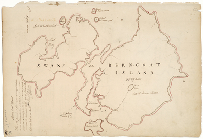
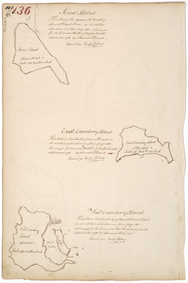
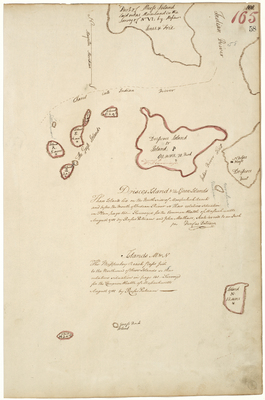
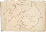
Page 28. Survey of Burnt Coat or Swans Island.
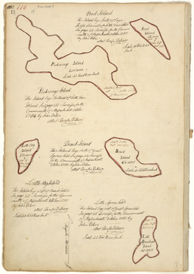
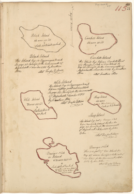
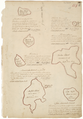
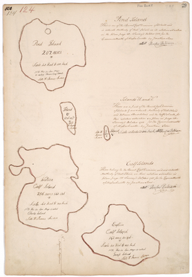
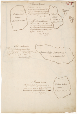
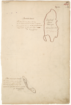
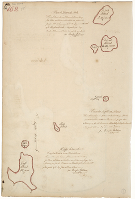
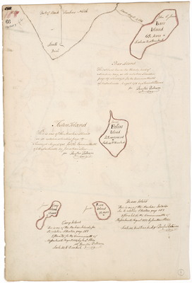
Page 29. Survey of Pond Island, Islands U and V, Western Calf Island, and Eastern Calf Island.
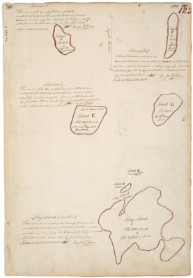
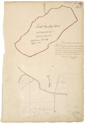
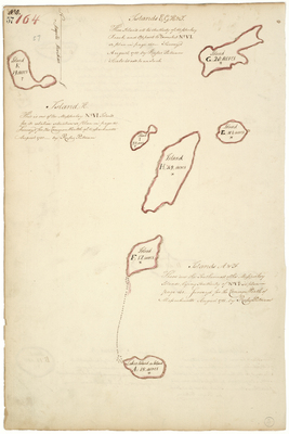
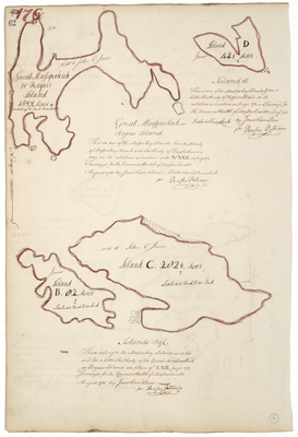
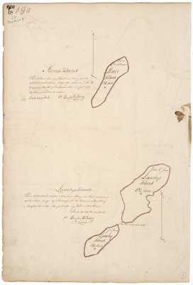
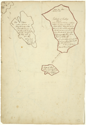
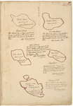
Page 30. Plan of Island A, C, F, and G [Frenchboro].
Page
4
of
12
1
2
3
4
5
6
7
Search
Enter search terms:
Select context to search:
in this collection
Digital Maine
Advanced Search
Notify me via email or
RSS
Browse
State Agencies
Subjects
Contributors
For Agency Contributors
FAQs
Featured Links
Maine Government
Maine State Library
Maine State Agencies
Digital Maine Partners
Gallery Locations
View gallery on map
View gallery in Google Earth


![Page 25.5. This Plan represents the outlines of Township number three in the eighth range [T3 R8] East from the west line of the State of Maine, and also the division line of said township as run by Jos. Kelsey. by Joseph L. Kelsey](https://digitalmaine.com/planbook_8/1026/thumbnail.jpg "Page 25.5. This Plan represents the outlines of Township number three in the eighth range [T3 R8] East from the west line of the State of Maine, and also the division line of said township as run by Jos. Kelsey. by Joseph L. Kelsey")
![Page 30. Plan of Island A, C, F, and G [Frenchboro]. by Jonathan Stone](https://digitalmaine.com/planbook_8/1031/thumbnail.jpg "Page 30. Plan of Island A, C, F, and G [Frenchboro]. by Jonathan Stone")