

Preview
Document Type
StillImage
Contributing Institution
Maine State Archives
Identifier
209685
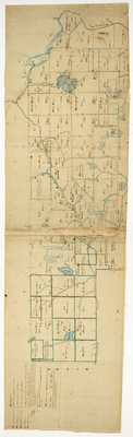
Description
Plan of Plan of 20 townships in Penobscot County and 14 townships in Washington County surveyed on a scale of 600 rods to an inch according to instructions of the Board of Commissioners under the Act of Separation. Boundaries shaded green denote private land.
Exact Creation Date
11-1822
Language
English
Location
Penobscot County; Washington County
Keywords
Cartography; Maps; Maine Land Office; Planbooks; Surveys