

Preview
Document Type
StillImage
Contributing Institution
Maine State Archives
Identifier
208461
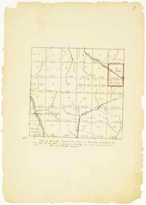
Description
Survey of T9 R4 WELS on a scale of 40 chains to an inch.
Exact Creation Date
1839
Language
English
Location
T9 R4 WELS; Unnamed Townships; Aroostook County
Other Location
Beaver Brook; Masardis Stream; Alinegunus Stream
Keywords
Cartography; Maps; Maine Land Office; Planbooks; Surveys