

Preview
Document Type
StillImage
Contributing Institution
Maine State Archives
Identifier
208462
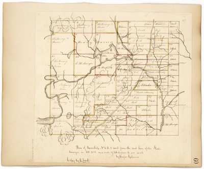
Description
Survey of T6 R5 WELS (Moro Plantation) on a scale of 40 chains to an inch.
Exact Creation Date
1833
Language
English
Location
Aroostook County; Moro Plt
Other Location
Aroostook Road; Rockabema Lake; Sunday Lake; Long Pond; Mattawamkeag River
Keywords
Cartography; Maps; Maine Land Office; Planbooks; Surveys