

Preview
Document Type
StillImage
Contributing Institution
Maine State Archives
Identifier
208369
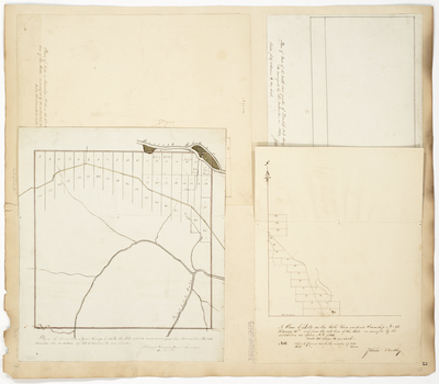
Description
Page 3 consists of 4 maps to one page, which have been scanned as Page 03 and 03A. Surveys done in 1840 and 1844 on a scale of 40 chains to an inch.
Broad Creation Date
1840; 1844
Language
English
Location
Aroostook County; T15 R6 WELS
Other Location
Fish River; Presque Isle River; Aroostook River
Keywords
Cartography; Maps; Maine Land Office; Planbooks; Surveys