Home > StateDocs > sos > ARCHIVES > ARC_IMG > ARC_MAPS > PLANBOOK_MAPS > PLANBOOK_25
Follow
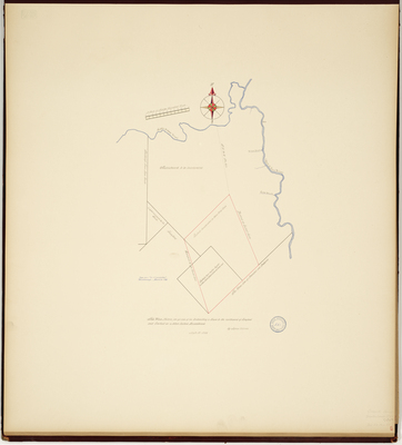
Page 3 of 11
Advanced Search


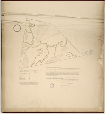
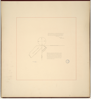
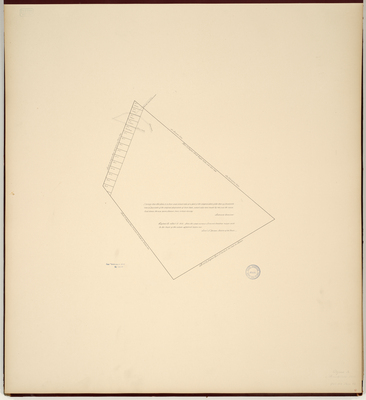
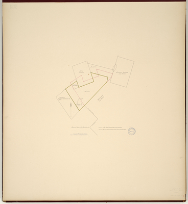
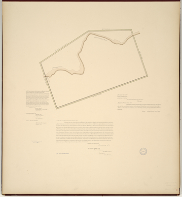
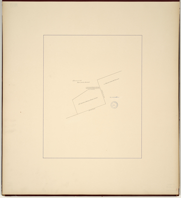
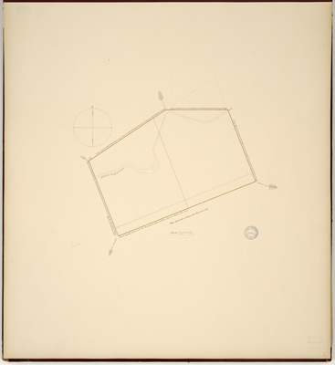
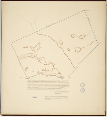
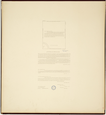
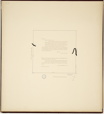
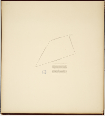
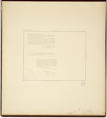
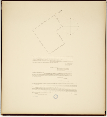
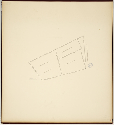
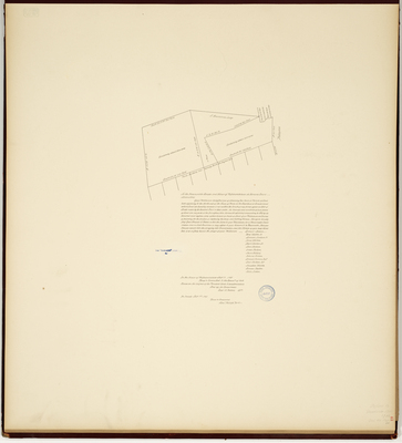
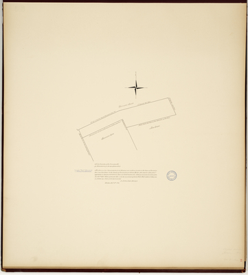
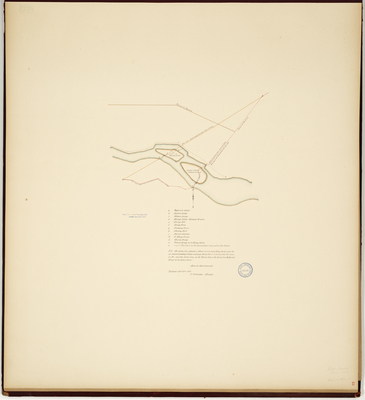
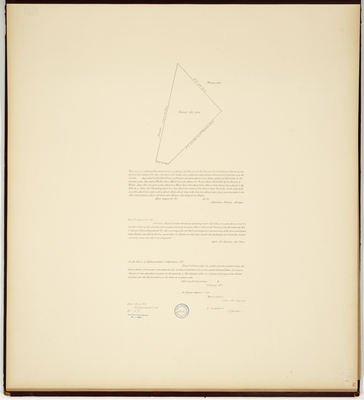
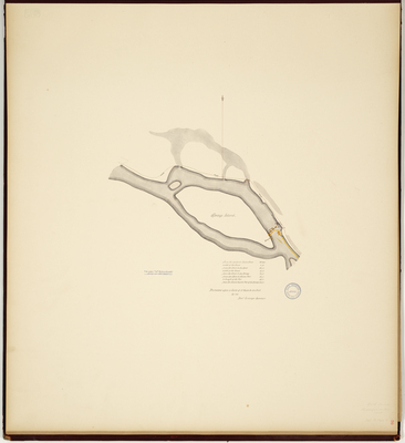
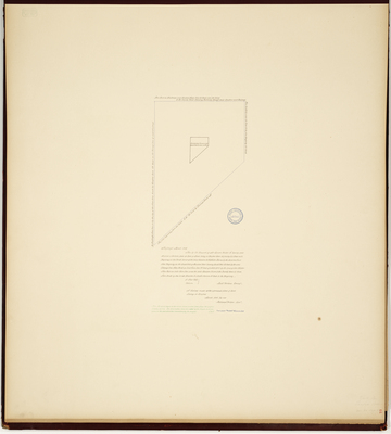
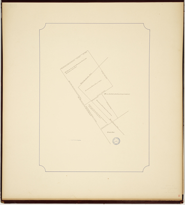
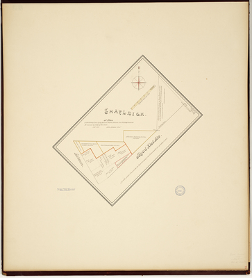
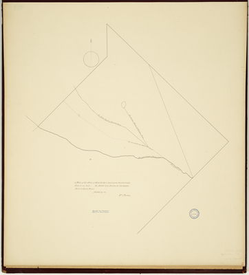
, 1800 by Nathaniel Merrill")
