

Preview
Document Type
StillImage
Contributing Institution
Maine State Archives
Identifier
29421
Description
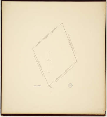
Survey establishing boundaries of Lyman. Copied from Massachusetts Archives Maps and Plans #1631 and 1631A.
Exact Creation Date
1803
Language
English
Map-Land Office-Planbook 25, p.69, Lyman, 1803-29421.jpg (47672 kB)
Page 69
Page 69
Keywords
Cartography; Maps; Maine Land Office; Planbooks; Surveys