

Preview
Document Type
StillImage
Contributing Institution
Maine State Archives
Identifier
298409
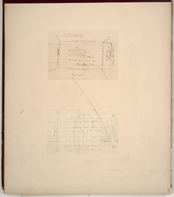
Description
Survey of Asael Foster's lands containing 3600 acres on a scale of 100 chains to an inch.
Exact Creation Date
7-1790
Language
English
Location
Oxford County; Denmark
Keywords
Cartography; Maps; Maine Land Office; Planbooks; Surveys