

Preview
Document Type
StillImage
Contributing Institution
Maine State Archives
Identifier
209561
Description
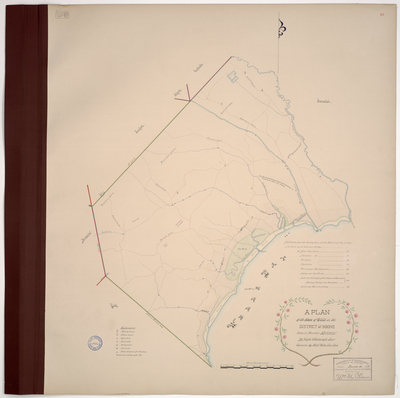
Plan of Wells on a scale of 200 rods to an inch. Includes meeting houses, schoolhouses, saw mills, grist mills, fulling mills, ironworks, roads, and rocks dangerous for shipping. Copied from Massachusetts Archives Maps and Plans #1421 .
Exact Creation Date
1794
Language
English
Location
York County; Wells
Keywords
Cartography; Maps; Maine Land Office; Planbooks; Surveys