

Preview
Document Type
StillImage
Contributing Institution
Maine State Archives
Identifier
208226
Description
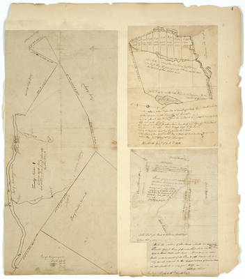
Map #1: Survey of Township 1 (Peru) containing 24,750 acres on a scale of 200 rods to an inch. Surveyed 1787.
Map #2: Survey of state land in Sandy River on a scale of 2 inches to one mile.
Map #3: Survey of Prout's Grant near the Saco River on a scale of 80 rods to one inch.
Broad Creation Date
1787-1809
Language
English
Location
Cumberland County; Baldwin; Oxford County; Brownfield; Peru
Other Location
Saco River; Little Norridgewock Stream; Sandy River
Keywords
Cartography; Maps; Maine Land Office; Planbooks; Surveys