

Preview
Document Type
StillImage
Contributing Institution
Maine State Archives
Identifier
208226
Description
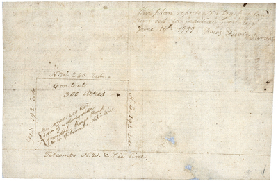
Survey of 300 acres laid out along Samuel Titcomb's northwest line.
Exact Creation Date
6-16-1789
Language
English
Keywords
Cartography; Maps; Maine Land Office; Planbooks; Surveys