

Preview
Document Type
StillImage
Contributing Institution
Maine State Archives
Identifier
302965
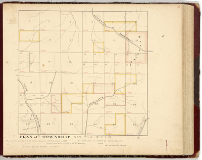
Description
Survey of T9 R4 WELS wild lands on a scale of 40 chains to an inch.
Broad Creation Date
1833-1860
Language
English
Location
Aroostook County; T9 R4 WELS
Other Location
Masardis River; Beaver Brook; Alinegunnus or Black Water River
Keywords
Cartography; Maps; Maine Land Office; Planbooks; Surveys