

Preview
Document Type
StillImage
Contributing Institution
Maine State Archives
Identifier
29451
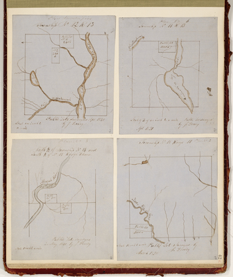
Description
Plans of T12 R13, T11 R13, North Half of T14 and South Half of T15 R11, and T18 R11.
Exact Creation Date
1850
Language
English
Location
Aroostook County; T15 R11 WELS; T18 R11 WELS; T12 R13 WELS; T11 R13 WELS
Keywords
Cartography; Maps; Maine Land Office; Planbooks; Surveys