

Preview
Document Type
StillImage
Contributing Institution
Maine State Archives
Identifier
29451
Description
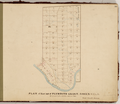
Survey of east half of Plymouth Grant in Range 1, WELS (now Fort Fairfield).
Exact Creation Date
1859
Language
English
Location
Aroostook County; Fort Fairfield
Other Location
Aroostook River
Keywords
Cartography; Maps; Maine Land Office; Planbooks; Surveys