

Preview
Document Type
StillImage
Contributing Institution
Maine State Archives
Identifier
210848
Description
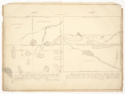
Plan of Township No. 5 in the 10th Range, west from the East line of the State of Maine, representing the exterior lines according to the original survey, and the interior lines according to E. Stewart's survey, made this present month.
Plan of Township No. 7 in the 10th Range West from the East line of the State of Maine, representing the exterior lines according to the original survey, and the interior lines as run by E. Stewart & the subscriber, during this present month. Scale of 40 chains to an inch.
Exact Creation Date
10-26-1839
Language
English
Location
Piscataquis County; T7 R10 WELS
Other Location
Penobscot River; Aroostook Brook; Trout Stream
Keywords
Cartography; Maps; Maine Land Office; Planbooks; Surveys