

Preview
Document Type
StillImage
Contributing Institution
Maine State Archives
Identifier
211800
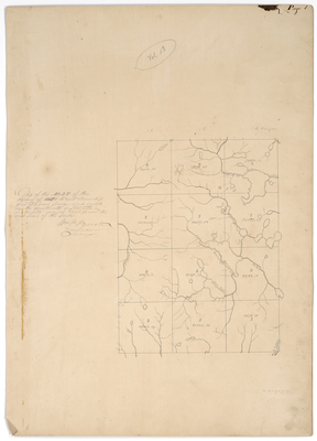
Description
Survey of undivided lands in Piscataquis County. Includes T5-T8, R14-16.
Exact Creation Date
1841
Language
English
Location
Piscataquis County; T5 R14 WELS; T5 R15 WELS; T6 R14 WELS; T6 R15 WELS; T7 R14 WELS; T8 R14 WELS; T8 R15 WELS
Other Location
Allagash Stream
Keywords
Cartography; Maps; Maine Land Office; Planbooks; Surveys