

Preview
Document Type
StillImage
Contributing Institution
Maine State Archives
Identifier
211753
Description
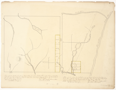
Map 1: Plan of the Public Lands in Township 3 Range 6 West of Kennebec River as located October 1850 by the subscribers they having had that duty assigned them by the District Court May Term A.D. 1850. Scale of 160 rods to the inch.
Map 2: Plan of No. 1 R4 West KR [Kennebec River] and of Public Land as located on said No.1 March 1850 by the subscribers they having had that duty assigned them by the District Court May Term A.D. 1849. Scale 160 rods to the inch.
Broad Creation Date
1849-1850
Language
English
Location
Somerset County
Other Location
Kennebec River; Dead River; Moose Pond
Keywords
Cartography; Maps; Maine Land Office; Planbooks; Surveys