

Preview
Document Type
StillImage
Contributing Institution
Maine State Archives
Identifier
207608
Description
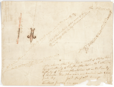
Plan of a tract of state land south of Chester Plantation and west of Wyman's Plantation. Now Chesterville.
Exact Creation Date
1795
Language
English
Location
Franklin County; Chesterville
p38Chestervilleback207608.jpg (7111 kB)
Keywords
Cartography; Maps; Maine Land Office; Planbooks; Surveys