

Preview
Document Type
StillImage
Contributing Institution
Maine State Archives
Identifier
207738
Description
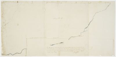
Plan representing a tract of land lying on the west side of Mattawamkeag River, and east of townships No. 1, 2, and 3 in the 3rd range of townships south of the Monument Line (now Haynesville).
Exact Creation Date
7-1-1829
Language
English
Location
Aroostook County; Haynesville
Other Location
Monument Line
Keywords
Cartography; Maps; Maine Land Office; Planbooks; Surveys