

Preview
Document Type
StillImage
Contributing Institution
Maine State Archives
Identifier
208164
Description
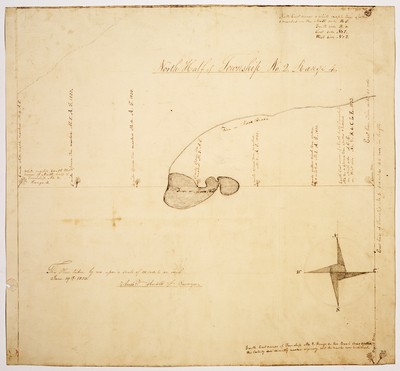
Plan of North Half of T2 R4 on a scale of 100 rods to an inch. Includes field notes and plan.
Exact Creation Date
6-19-1833
Language
English
Location
Franklin County; Tim Pond Twp
Other Location
Tim Pond; Moose Pond; Moose Brook
Keywords
Cartography; Maps; Maine Land Office; Planbooks; Surveys