

Preview
Document Type
StillImage
Contributing Institution
Maine State Archives
Identifier
207644
Description
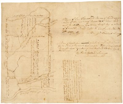
Plan of ten thousand acres of land exclusive to the water of Aroostook River laid out to William Eaton Esq. by a scale of four hundred rods to an inch November 6th 1807 by Benjamin Marshall, surveyor.
A plan of 23,040 acres of land surveyed and laid out for the Town of Plymouth exclusive to the waters of the Aroostook River laid down by a scale of four hundred rods to an inch November 6th 1807.
Includes front and back of page.
Exact Creation Date
1807
Language
English
Location
Aroostook County; Caribou
Other Location
Aroostook River
Keywords
Cartography; Maps; Maine Land Office; Planbooks; Surveys