

Preview
Document Type
StillImage
Contributing Institution
Maine State Archives
Identifier
207718
Description
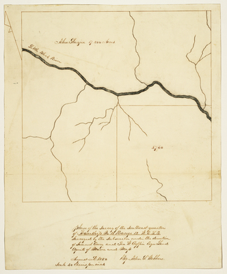
Survey of the southeast quarter of T18 R12 WELS on a scale of 40 chains to one inch. Notes 17,280 acres belonging to John Glazier.
Exact Creation Date
8-1850
Language
English
Location
Aroostook County; T18 R12 WELS
Other Location
Little Black River
Keywords
Cartography; Maps; Maine Land Office; Planbooks; Surveys