

Preview
Document Type
StillImage
Contributing Institution
Maine State Archives
Identifier
207711
Description
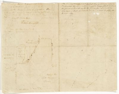
Plan of a tract of land lying between Thompson Pond and Upper Range Pond, surveyed by Amos Davis for Jedediah Jewet [Lewis?]. Includes front and back of page.
Exact Creation Date
1789
Language
English
Location
Androscoggin County; Poland; Cumberland County; New Gloucester
Other Location
Upper Range Pond; Thompson Pond
p11PolandAndroCntyNewGlouchesJune1789back207711.jpg (1517 kB)
Back of page
Back of page
Keywords
Cartography; Maps; Maine Land Office; Planbooks; Surveys