

Preview
Document Type
StillImage
Contributing Institution
Maine State Archives
Identifier
208133
Description
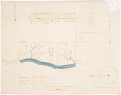
This plan represents the northerly half of Township No. 3, east side of Penobscot River as surveyed by the order of Salem Towne Esq. in the year 1797 and the survey of the river and of the lots described on this plan by James Irish Esq. in the year 1818 by direction of Lothrop Lewis, Surveyor General.
Exact Creation Date
1818
Language
English
Location
Penobscot County; Old Town
Other Location
Penobscot River
Keywords
Cartography; Maps; Maine Land Office; Planbooks; Surveys