

Preview
Contributing Institution
Maine State Archives
Document Type
StillImage
Identifier
209739
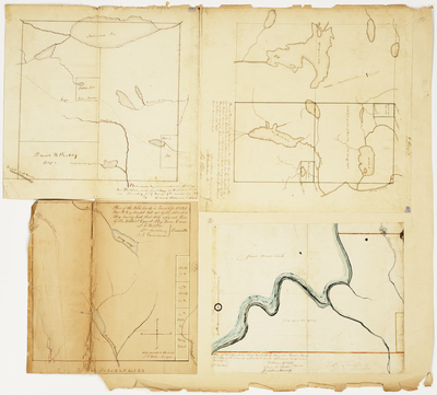
Description
Plan of reserved land in T7 R9 WELS
Plan of public lands in T3 R6 BKP WKR (Upper Enchanted)
Plan of T6 R8
Plan of T1 R2 NBKP (Tomhegan)
Broad Creation Date
1849-1850
Language
English
Location
Penobscot County; T6 R8 WELS; Piscataquis County; T7 R9 WELS; Somerset County; Upper Enchanted Twp; Tomhegan Twp
Other Location
Hay Brook Lake; Matagamon Lake; Penobscot River; Moose Pond; Enchanted Stream
Keywords
Cartography; Maps; Maine Land Office; Planbooks; Surveys
Rights Statement
No Copyright - United States. URI: http://rightsstatements.org/vocab/NoC-US/1.0/
The organization that has made the Item available believes that the Item is in the Public Domain under the laws of the United States, but a determination was not made as to its copyright status under the copyright laws of other countries. The Item may not be in the Public Domain under the laws of other countries. Please refer to the organization that has made the Item available for more information.