


Preview
Contributing Institution
Maine Geological Survey
Document Type
Image
Identifier
72
Description
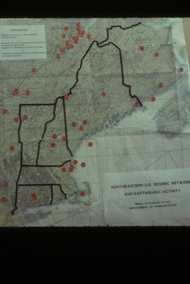
Northeast Seismic Network Map
Supplemental Rights
Credit must be given to the photographer and the Maine Geological Survey when this photo is displayed, reproduced, distributed and/or used in derivative works.
Keywords
earthquake; map; seismic