

Preview
Contributing Institution
Maine State Archives
Document Type
StillImage
Identifier
04-337294-I038
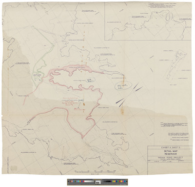
Description
Map of Dead River Township. Shows Indian Pond Project. Surveyed by Central Maine Power.
Exact Creation Date
1953
Dimensions
29 x 26.5
Language
English
Keywords
Maine; Maps; Cartography