

Preview
Contributing Institution
Maine State Archives
Document Type
StillImage
Identifier
04-306013-I009
Description
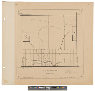
Map of Township 2 Range 2, BKP, WKR, Highland Plantation. Shows lotting south half and public lots, roads and buildings.
Dimensions
21.5 x 20 inches
Language
English
Keywords
Maine; Maps; Cartography