

Preview
Contributing Institution
Maine State Archives
Document Type
StillImage
Identifier
04-337294-I005
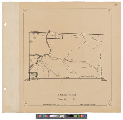
Description
Map of Township 4 Range 7 BKP WKR. Shows public lots, roads and burnt land.
Exact Creation Date
1909
Dimensions
21.5 x 20
Language
English
Keywords
Maine; Maps; Cartography