

Preview
Contributing Institution
Maine State Archives
Document Type
StillImage
Identifier
04-306013-I014
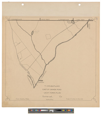
Description
Map of Township 1 Range 5, BKP WKR, East of Canada Road. West Forks plan. Shows water ways, county atlas. No date.
Dimensions
21.5 x 20 inches
Language
English
Keywords
Maine; Maps; Cartography