

Preview
Contributing Institution
Maine State Archives
Document Type
StillImage
Identifier
04-337294-I044
Description
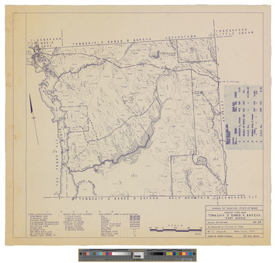
Map of Township 2 Range 4 BKP EKR, East Moxie. Shows forest type, public lots and roads.
Exact Creation Date
1967
Dimensions
19 x 21
Language
English
Keywords
Maine; Maps; Cartography