

Preview
Contributing Institution
Maine State Archives
Document Type
StillImage
Identifier
4-361695-I087
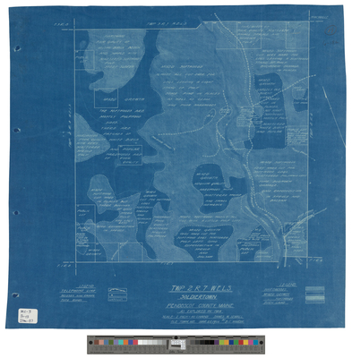
Description
Blueprint of Soldiertown T2 R7 WELS as explored in 1924.
Scale of 1 inch to 40 chains.
Exact Creation Date
3-25-1924
Language
English
Location
Penobscot County; Soldiertown Twp T2 R7 WELS
Other Location
East Branch Penobscot River
Keywords
Cartography; Maps; Surveys