

Preview
Contributing Institution
Maine State Archives
Document Type
StillImage
Identifier
4-361695-I083
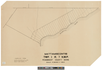
Description
Mattamiscontis, T1 R7 NWP compiled from the plan of Holman and Rose 1822, Rufus Gilmore survey of 1823, and recent minor surveys.
Scale of 4 inches to 1 mile.
Language
English
Location
Penobscot County; Mattamiscontis Twp
Other Location
Penobscot River
Keywords
Cartography; Maps; Surveys