

Preview
Contributing Institution
Maine State Archives
Document Type
StillImage
Identifier
4-361695-I004
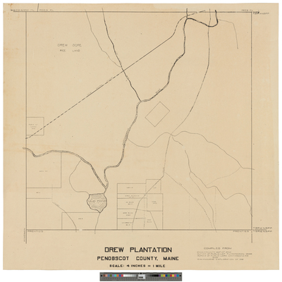
Description
Drew Plantation. Compiled from Chas. Bryant's map of 1852, Survey of Public Lot by P.J. Hardison 1898, Survey of Public Lots Commissioners 1848, and O.W. Madden's exploration of 1918.
Scale 4 inches = 1 mile.
Exact Creation Date
1918
Language
English
Location
Penobscot County; Drew Plt
Keywords
Cartography; Maps; Surveys