

Preview
Contributing Institution
Maine State Archives
Document Type
StillImage
Identifier
4-361695-I037
Description
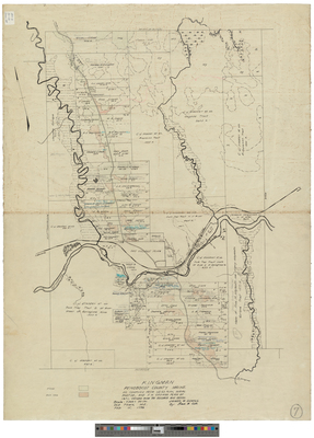
Plan of Kingman Township as compiled from USGS plan, aerial photos, and F.H. Coombs plan of 1871; owners from tax records and deeds.
Scale of 1 inch to 20 chains.
Exact Creation Date
2-15-1946
Language
English
Location
Penobscot County; Kingman Twp
Other Location
Mattawamkeag River
Keywords
Cartography; Maps; Surveys