

Preview
Contributing Institution
Maine State Archives
Document Type
StillImage
Identifier
4-308519-I019
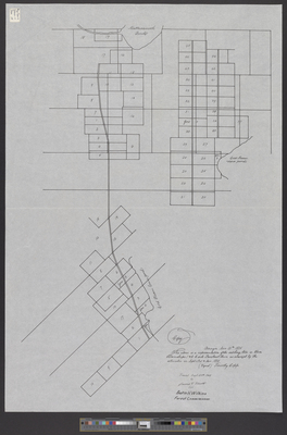
Description
Tracing of Townships 1 and 2 near the Penobscot River. Original plan by Timothy Copp in 1825, traced September 20, 1965 by James V. Elliott for Austin H. Wilkins, Forest Commissioner.
Language
English
Location
Penobscot County; Enfield
Other Location
Cold Stream Pond; Mattanawcook Pond
Keywords
Cartography; Maps; Surveys