

Preview
Contributing Institution
Maine State Archives
Document Type
StillImage
Identifier
4-308519-I012
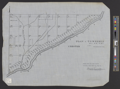
Description
Plan of Chester (T1 R8 NWP) taken from the Land Office records, Plan Book 18, Page 6. Scale of 50 chains to 1 inch.
Broad Creation Date
ca. 1930
Language
English
Location
Penobscot County; Chester
Other Location
Penobscot River; Madunkeunk (Madaceunk) Stream
Keywords
Cartography; Maps; Surveys