

Preview
Contributing Institution
Maine State Archives
Document Type
StillImage
Identifier
4-361695-I017
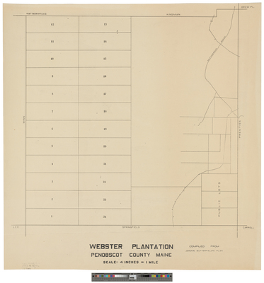
Description
Webster Plantation compiled from Jerome Butterfield's plan.
Scale 4 inches to 1 mile.
Language
English
Location
Penobscot County; Webster Plt
Keywords
Cartography; Maps; Surveys