

Preview
Contributing Institution
Maine State Archives
Document Type
StillImage
Identifier
4-304803-I064
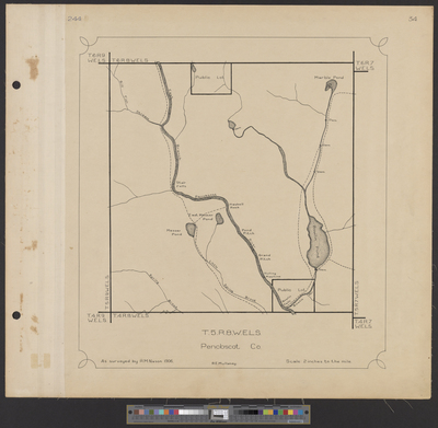
Description
T5 R8 WELS as surveyed by R.M. Nason in 1906. Scale 2 inches to 1 mile.
Exact Creation Date
1906
Language
English
Location
Penobscot County; T5 R8 WELS
Other Location
East Branch Penobscot River; Bowlin Pond; Bill Fish Stream; Stair Falls; Haskell Rock; Pond Pitch; Grand Pitch; Hulling Machine; Marble Pond; Spring Brook
Keywords
Cartography; Maps; Surveys