

Preview
Contributing Institution
Maine State Archives
Document Type
StillImage
Identifier
4-304803-I027
Description
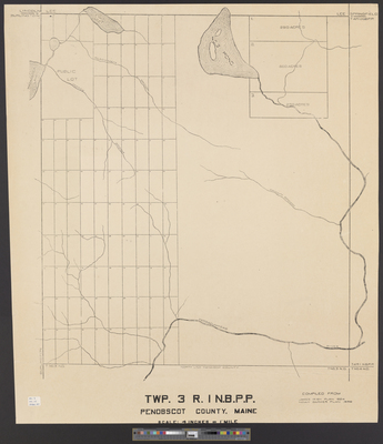
T3 R1 NBPP [Township 3 Range 1] compiled from James Irish's plan of 1824 and Noah Barker's plan of 1850.
Scale 4 inches to 1 mile.
Language
English
Location
Penobscot County; T3 R1 NBPP
Other Location
Little Madagascal Lake; Coffee Brook; No. 3 Pond; Blackman Brook
Keywords
Cartography; Maps; Surveys