

Series of maps to establish the international boundary between the United States and Canada. Volume 1 established the boundary from the source of the St. Croix River to the Atlantic Ocean in accordance with the 1908, 1910, and 1925 treaties signed at Washington. Volume 1 maps (18 sheets) are dated May 9, 1934.
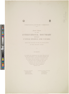
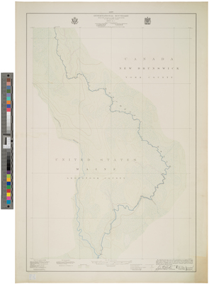
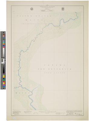
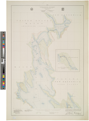
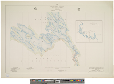
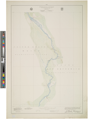
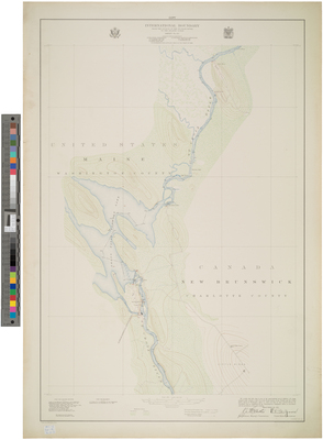
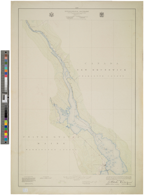
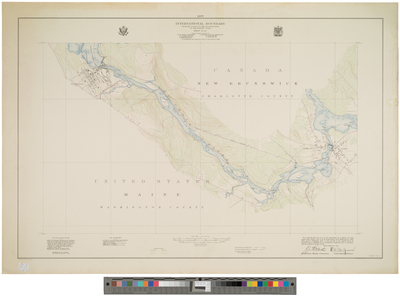
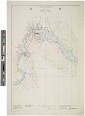
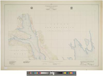
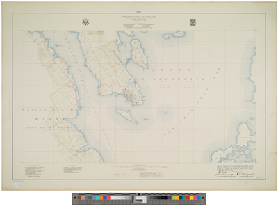
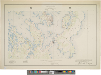
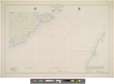
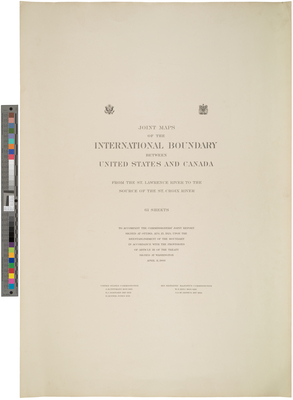
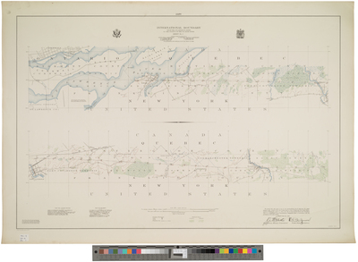
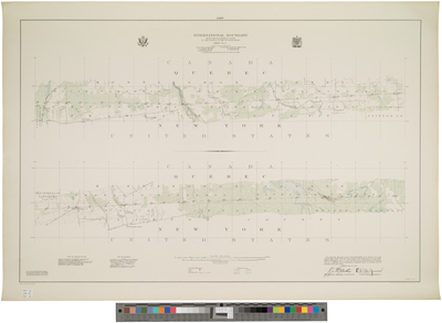
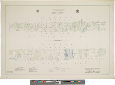
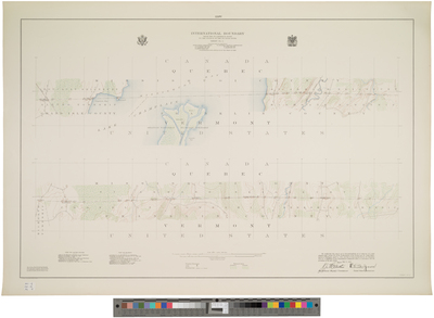
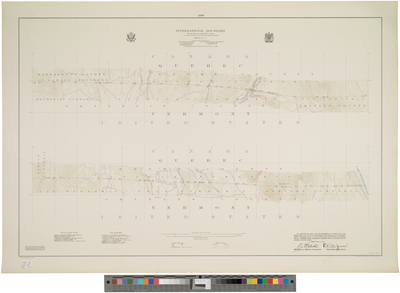
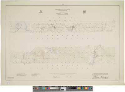
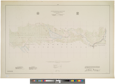
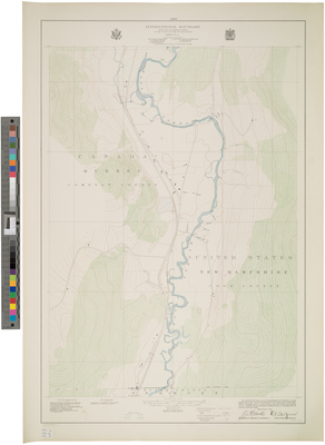
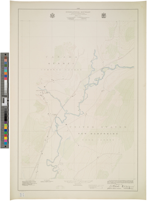
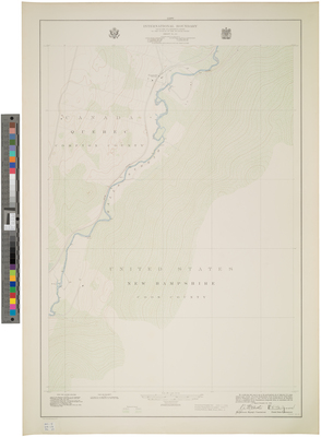
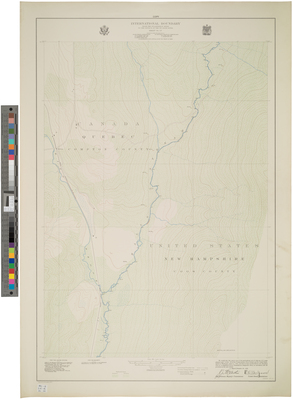
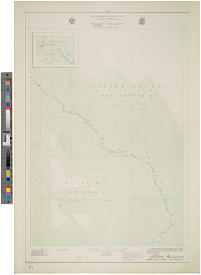
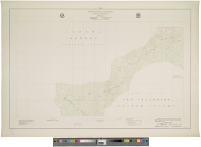
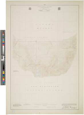
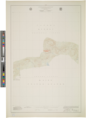
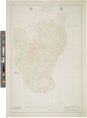
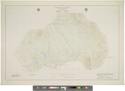
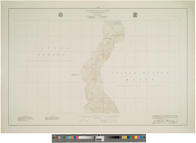
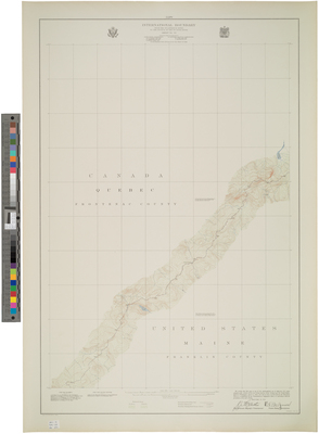
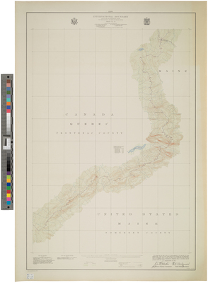
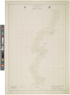
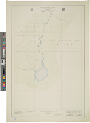
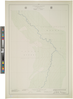
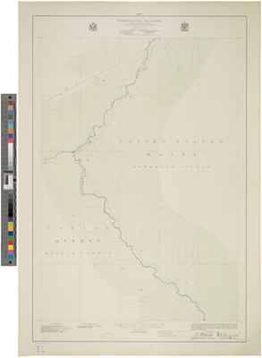
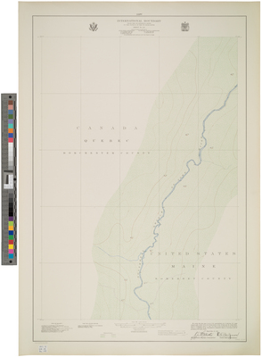
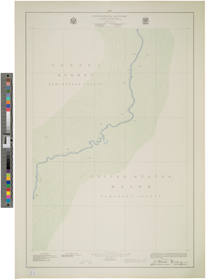
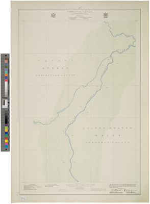
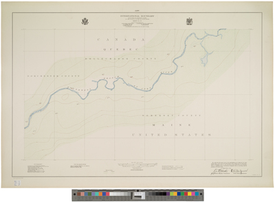
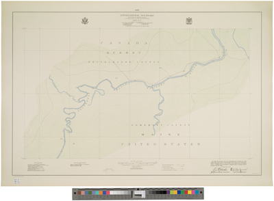
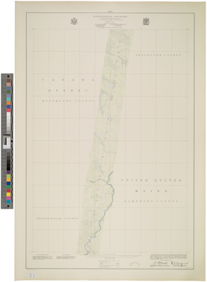
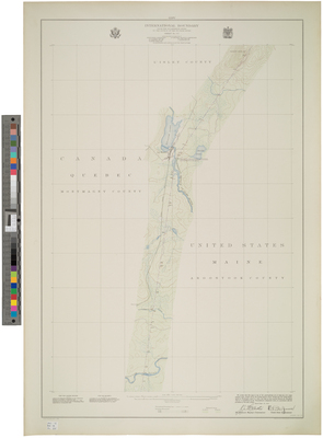
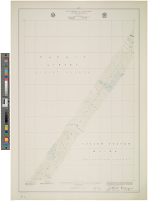
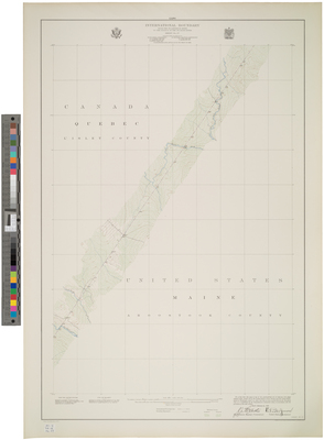
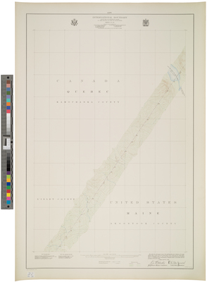
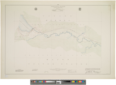
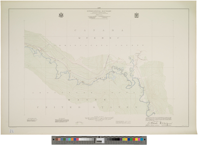
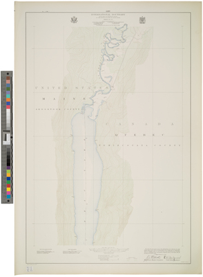
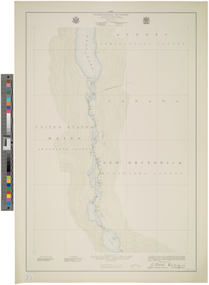
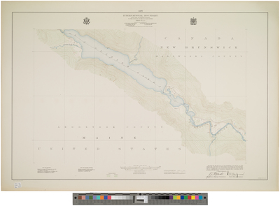
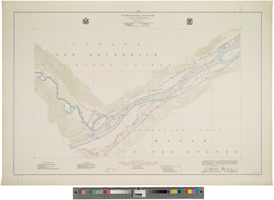
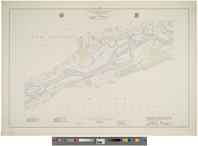
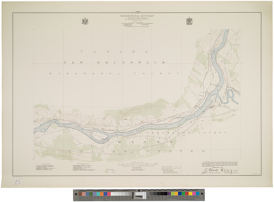
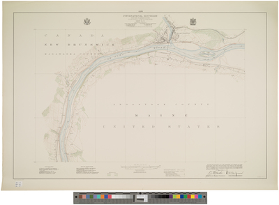
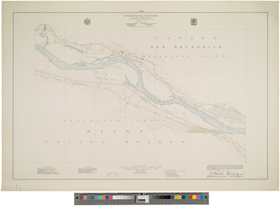
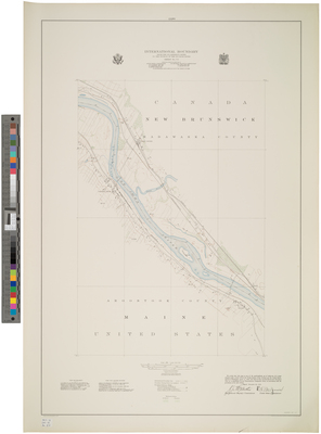
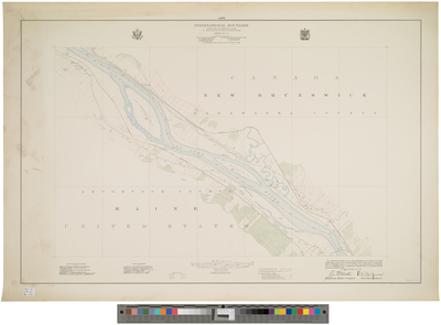
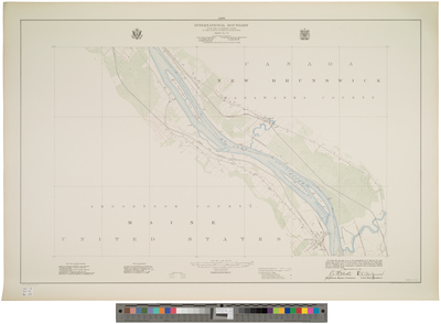
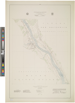
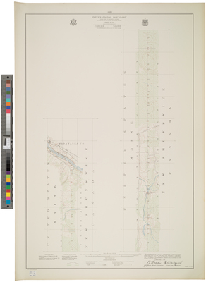
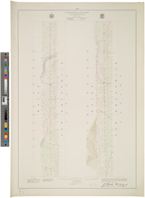
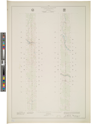
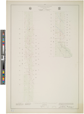
Volume 2 (61 sheets) established the boundary from the St. Lawrence River to the source of the St. Croix River in accordance with the 1908 treaty signed at Washington. Volume 2 maps are dated August 15, 1924.
Printing is not supported at the primary Gallery Thumbnail page. Please first navigate to a specific Image before printing.


. Joint Maps of the International Boundary Between United States and Canada From the St. Lawrence River to the Source of the St. Croix River. by International Boundary Commission")


