

Preview
Contributing Institution
Maine State Archives
Document Type
StillImage
Identifier
318297
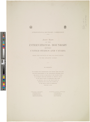
Description
Title page of Volume 1 of a series of 18 sheets of maps to accompany the Commissioner's Joint Report dated May 1, 1934 upon the establishment of the international boundary from the source of the St. Croix River to the Atlantic Ocean in accordance with the provisions of Articles I and II of the treaty signed at Washington April 11, 1908, of Articles I and II of the treaty signed at Washington, May 21, 1910, and of Article III of the treaty signed at Washington February 24, 1925.
Maps created between 1912-1924.
Exact Creation Date
5-1-1934
Language
English
Keywords
Cartography; Maps; International Boundary; Surveys